
Round Barrow(s) Somerset
Condition: 5 (5 is best) Ambience: 3 Access: 4 (5 is best)
Lat: 51.4226886122 Long: -
Round Barrow(s) in Somerset.
Bitton Barrow is a large round barrow situated at the confluence of the
River Boyd and Avon.
This barrow is near to the Roman 'Via Julia' road, and it is said that there ....
ROMAN ROAD WEST OF CARMARTHEN;'VIA JULIA'
Site Details
Site Details
Associated Sites (28)
Associated Collection Records (3)
NPRN
114111
Map Reference
SN42SW
Grid Reference
SN4164120339
Unitary (Local) Authority
Carmarthenshire
Old County
Carmarthenshire
Community
Carmarthen
Type of Site
ROAD
Broad Class
Transport
Period
Roman
Site Description
1. Roman road west of Carmarthen (NPRN 94432), destination unknown. A Roman fort was confirmed at Wiston in 2012/13 (NPRN 412237) but a similar installation is still expected in the vicinity of Whitland.
2. Survey has recorded approx. 38km of the road. A section north of Whitland has been excavated (see NPRN 268119).
The road may be traced as far as the Rudbaxton area to the west.
3. Comprises:
Section west of Carmarthen (NPRN 86910); sections south & east of Castell-
Doubtful sections -
Sources: James 1990 (AW30), 55-
James 1991 (in James (ed.) 'Sir Gar'), 73-
Page 1996 (AW36), 72-
James 2000 (CA36), 37-
J.Wiles 18.11.03
Updated: T. Driver, 16th Sept 2014
ROMAN ROAD W OF CARMARTHEN; VIA JULIA, FFOREST FARM SECTION
Site Details
Site Details
Associated Sites (1)
Online Images (1)
Associated Collection Records (7)
NPRN
308888
Map Reference
SN21NW
Grid Reference
SN21341697
Unitary (Local) Authority
Carmarthenshire
Old County
Carmarthenshire
Community
Whitland
Type of Site
ROAD
Broad Class
Transport
Period
Roman
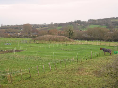
Site Description
Fforest Farm Roman Road is part of a Roman road running parallel with the A40 (east to west direction) west from Carmarthen (Nprn114111); a 1,385m stretch, running WNW-
Section to W = Nprn268119 (Whitland Bypass)
Section to E = Nprn308887 (Zabulon).
J.Wiles 25.02.04