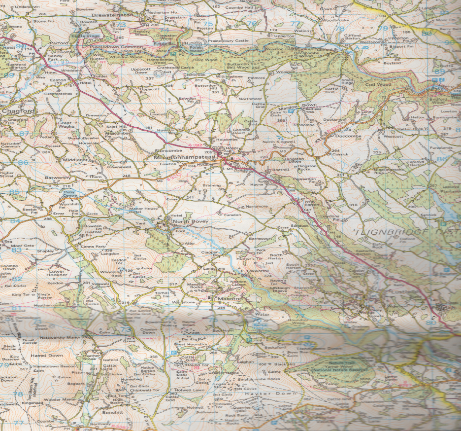
The River Bovey rises on the eastern side of Dartmoor in Devon, England, and is the largest tributary to the River Teign.
The river has two main source streams, both rising within a mile of each other, either side of the B3212 road between Moretonhampstead and Postbridge, before joining at Jurston.
The river flows for about two miles northwards from source before turning to a generally south easterly direction.
It passes the village of North Bovey, flows through the Lustleigh Cleave between the villages of Manaton and Lustleigh, and then through the town of Bovey Tracey. It joins the River Teign on the boundary between the parishes of Teigngrace and Kingsteignton, about a mile south of the village of Chudleigh Knighton.
Catchment
The catchment of the river runs to the West at Chagford Common, past Hookney Tor, and the road from Fordgate to Hound Tor.
To the South, the watershed is with the River Lemon and runs from Hemsworthy Gate to Haytor Rocks, past Brimley and to the North of Stover Country Park.
The Eastern boundary runs between Chudleigh Knighton to Doccombe, and in the North, is runs in a line from just outside Moretonhampstead to Meldon Hill, South of Chagford.
Tributaries
There are two main tributaries, one being the Becka Brook, rising near Hound Tor, flowing through Becky Falls, and joining the Bovey just below Trendlebere Down.
The second is the Wray Brook which starts North of Moretonhampstead, and joins the Bovey to the South of Lustleigh.
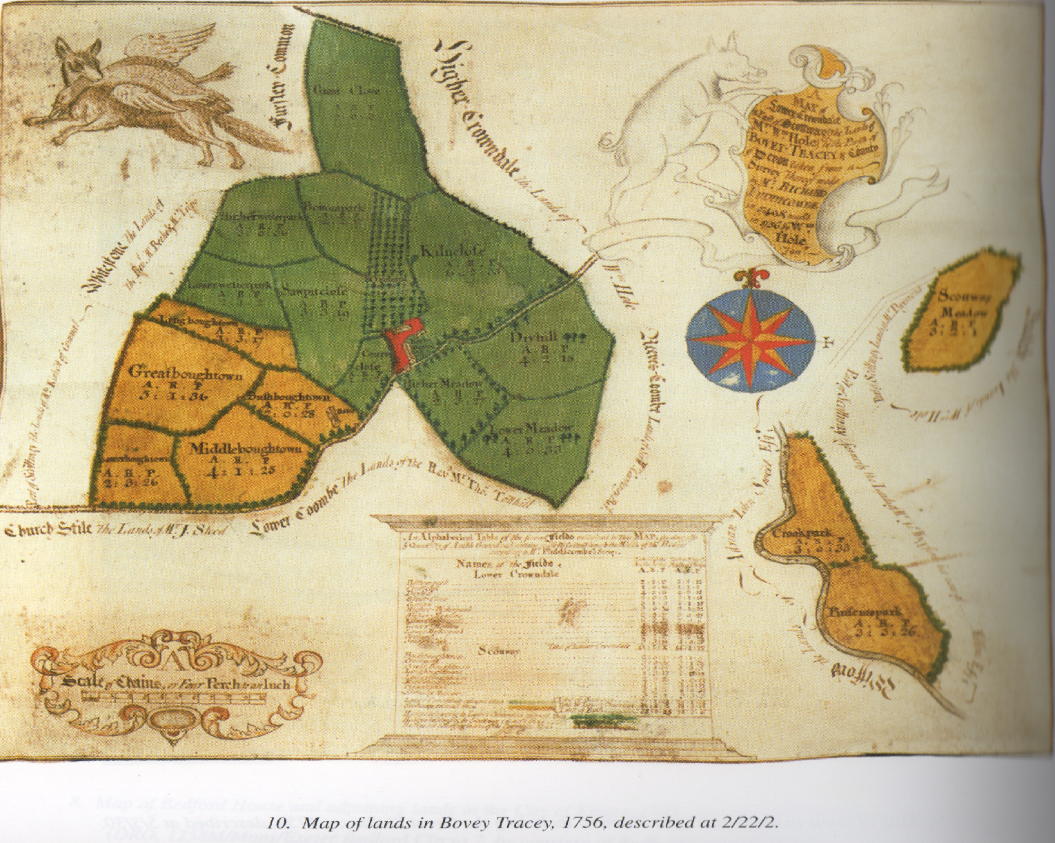
Bovey Tracey
was an established Saxon community and takes its name from the River Bovey.
The name first appears in Domesday Book as Bovi and possibly earlier as Buui.
The town gained its second name from the de Tracey family who were lords of the manor after the Norman Conquest, and was first documented as Bovitracy in 1309.
One member of the family, William de Tracy, was implicated in the murder of Archbishop Thomas Becket in Canterbury Cathedral in 1170.
It is thought that he rebuilt the parish church of St Peter, St Paul and St Thomas of Canterbury as penance for the murder. In the early 13th century Henry de Tracey created a borough here and in 1259 was granted the right to hold a weekly market and an annual three-
During the English Civil War on 9 January 1646, Oliver Cromwell and a contingent of his Roundhead army entered Bovey Tracey after dark and caught part of Lord Wentworth's Regiment by surprise, catching a number of officers playing cards in an inn. Many of Wentworth's Royalist troops escaped, but Cromwell did capture about 400 horse.
If local legend is to be believed, the Royalists escaped by throwing coins from the windows in order to distract the poorly paid Roundhead troops.
The next day a battle was fought on nearby Bovey Heath ending in victory for Cromwell's army.
The name of Cromwell lives on in the town today in both the public house "The Cromwell Arms" and the remains of a nearby stone arch, known locally (and incorrectly) as "Cromwell's Arch".
The arch is actually what is left of a priory that stood previously on the site of the nearby Baptist Church.
The Bovey Tracey Potteries operated from the 1750s for about 200 years.
Bovey railway station was opened on 26 June 1866 with the new Moretonhampstead and South Devon Railway on a site to the west of the town.
It closed to passengers on 28 February 1959, but goods trains continued to operate until 6 July 1970.
The town is twinned with Le Molay-
Geography
Bovey Tracey lies in the valley of the River Bovey at the junction of the A382 road (between Newton Abbot and Moretonhampstead) and the B3387 road (Chudleigh Knighton to Haytor Vale).
Church of St Peter, St Paul and St Thomas of Canterbury
Original paintings of apostles and prophets on the wainscot of the rood screen, restored by Anna Hulbert, dated to the early 16th century
The town has over a hundred listed buildings.[5] The parish church, at the top of the town, is grade I listed.[6] It has a tower dating from the 14th century, many 15th-
Since 1986, the Devon Guild of Craftsmen contemporary crafts gallery has occupied a building known as Riverside Mill, on the bank of the River Bovey.[9] The building, dating from 1854, has an undershot waterwheel that was used to pump water up to a tank in its tower. The stored water was used as the supply for a nearby house owned by John Divett and to water its stable yard and gardens.[10] Nearby, the Bovey Tracey Heritage Centre in the old Bovey railway station is run by volunteers and is open in the summer months.[11]
On the outskirts of the town are the House of Marbles, a visitor attraction on the site of the historic pottery;[12] and the headquarters of the Dartmoor National Park Authority at Parke, a large house which is leased to the authority by the National Trust.[13] Also nearby are a Devon Wildlife Trust nature reserve at Bovey Heath and the Haytor Granite Tramway, the route of which runs through the parish, west of the town.
According to the town council the town has a "good mixture of shops" and there is a farmers' market on alternate Saturday mornings.[13]
Historic estates
Within the parish of Bovey Tracey are various historic estates, including:
- Indio, long a seat of the Southcott family, later of Bentinck.
- The Indeo Pottery was established here between about 1766 and 1785.
- Parke, seat of Nicholas Eveleigh (d.1620) whose monument with effigy survives in Bovey Tracey Church. His widow married Elize Hele, whose monument and effigy faces that of Eveleigh.
- There are several inscribed tablets to later owners in Bovey Tracey Church.
- Now the headquarters of the Dartmoor National Park Authority.